Audio Guide: Ditch and Wall Area
Chronologically, the Ilergetian fortress of Els Estinclells corresponds to a single historical phase. All archaeological evidence recovered during our excavations indicates a unique period of occupation that ended abruptly at the close of the 3rd century BC.
The Iberian settlement covers a modest area of approximately 2,200 m2. Despite its small size, the site features a sophisticated defensive system, including a barrier-type ditch, a perimeter wall, and other structural elements such as a fortified entrance and a wall-walk (chemin de ronde).
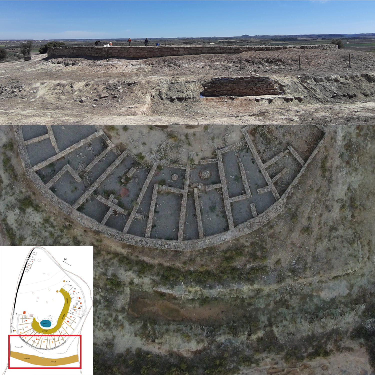
The barrier ditch is located at the most accessible point of the site, situated outside the walled perimeter and roughly three meters from the gravel base upon which the wall was built. It measures 5.5 meters in width, 48 meters in length, and reaches a depth of 1.7 meters.
The ditch is excavated directly into natural clay deposits. It features a retaining wall, or escarpment, along the cut closest to the main wall. To the south, east, and north, the hill’s natural slope provides a formidable defensive barrier. By cutting into the terrain, the ditch completely isolates the eastern end of the hill—where the fortified settlement is located—from the rest of the elevated platform.
The second major defensive element is the perimeter wall, which defines the settlement’s internal space. In the Ilergetian world, this “closed” settlement pattern was common: the wall served as the structural rear wall for the dwellings built against it. This system indicates a high level of prior urban planning, as the settlement functioned as a single, integrated, and organic unit.
In this arrangement, dwellings share common party walls, and the perimeter wall functions as the rear wall for each house. This design strategy significantly reduced the construction effort and resources required for the settlement. Following this pattern, the fortification maintains an ellipsoidal shape, with a standard wall width of 1.20 meters.
The masonry is remarkably precise, consisting of large limestone blocks. The best-preserved section is located along the western and southwestern sides of the site. Unfortunately, much of the original layout has disappeared over time, as many of these stones were dismantled in later centuries to construct agricultural terraces.
Traces of the wall are also documented along the northern section, although they remain in a poor state of preservation. In this area, the wall is considerably narrower, measuring between 70 and 100 cm. This variation is likely intentional: as this lateral stretch was already shielded by a steep natural slope, it required less structural reinforcement than the more exposed sections of the settlement.
All points of interest:
1. Ditch and Wall Area
2. Settlement Entrance and Gate
3. Circular Street and Basin
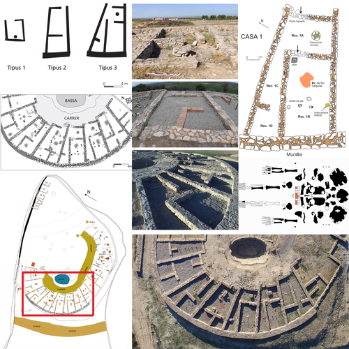
4. Complex Housing District
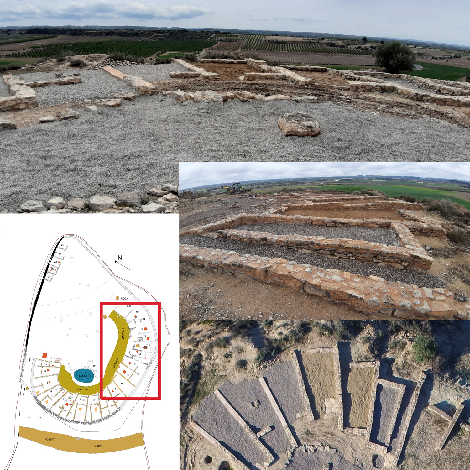
5. Simple Housing District
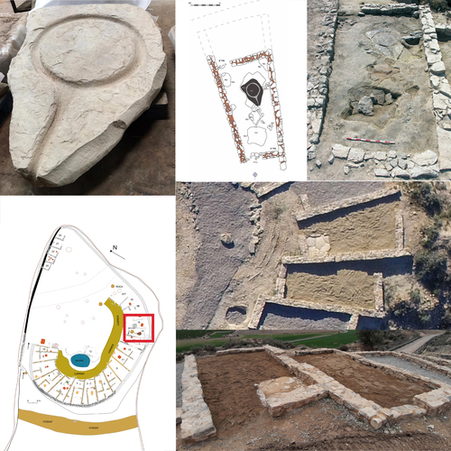
6. Pressing Workshop
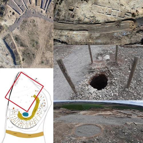
7. Open Area: Silos and Pits
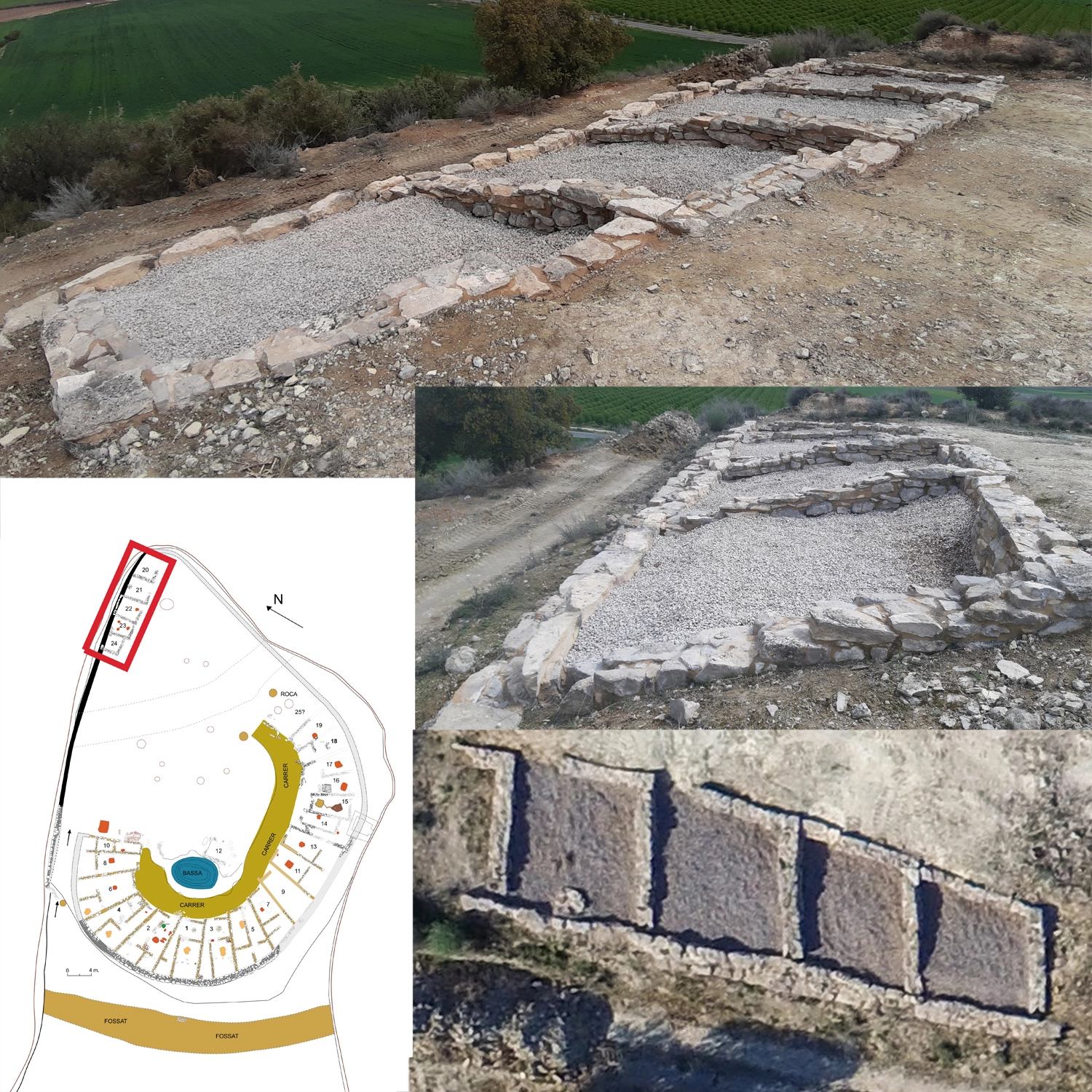
8. Tiny Housing District
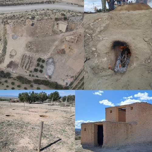
9. The Protohistory Experimental Field
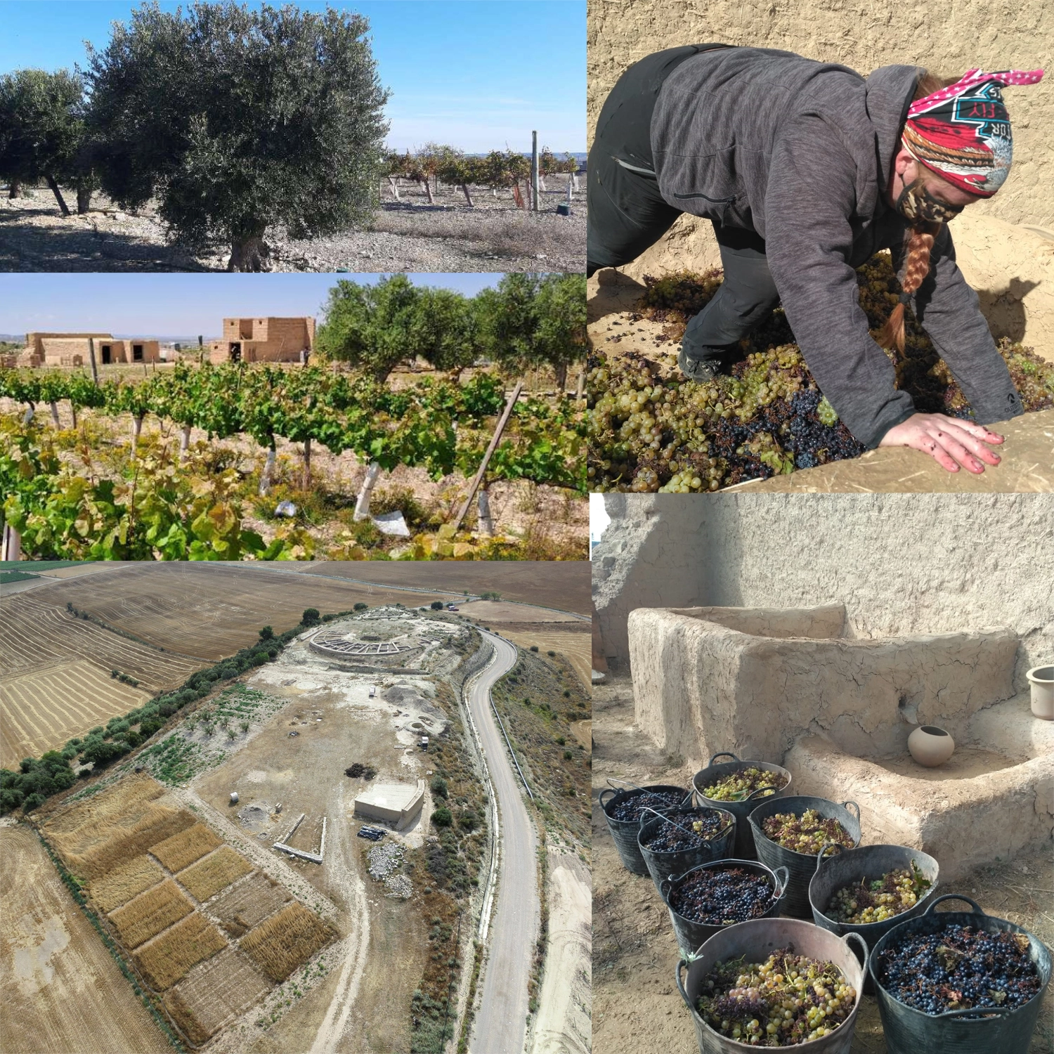
10. Agricultural Area
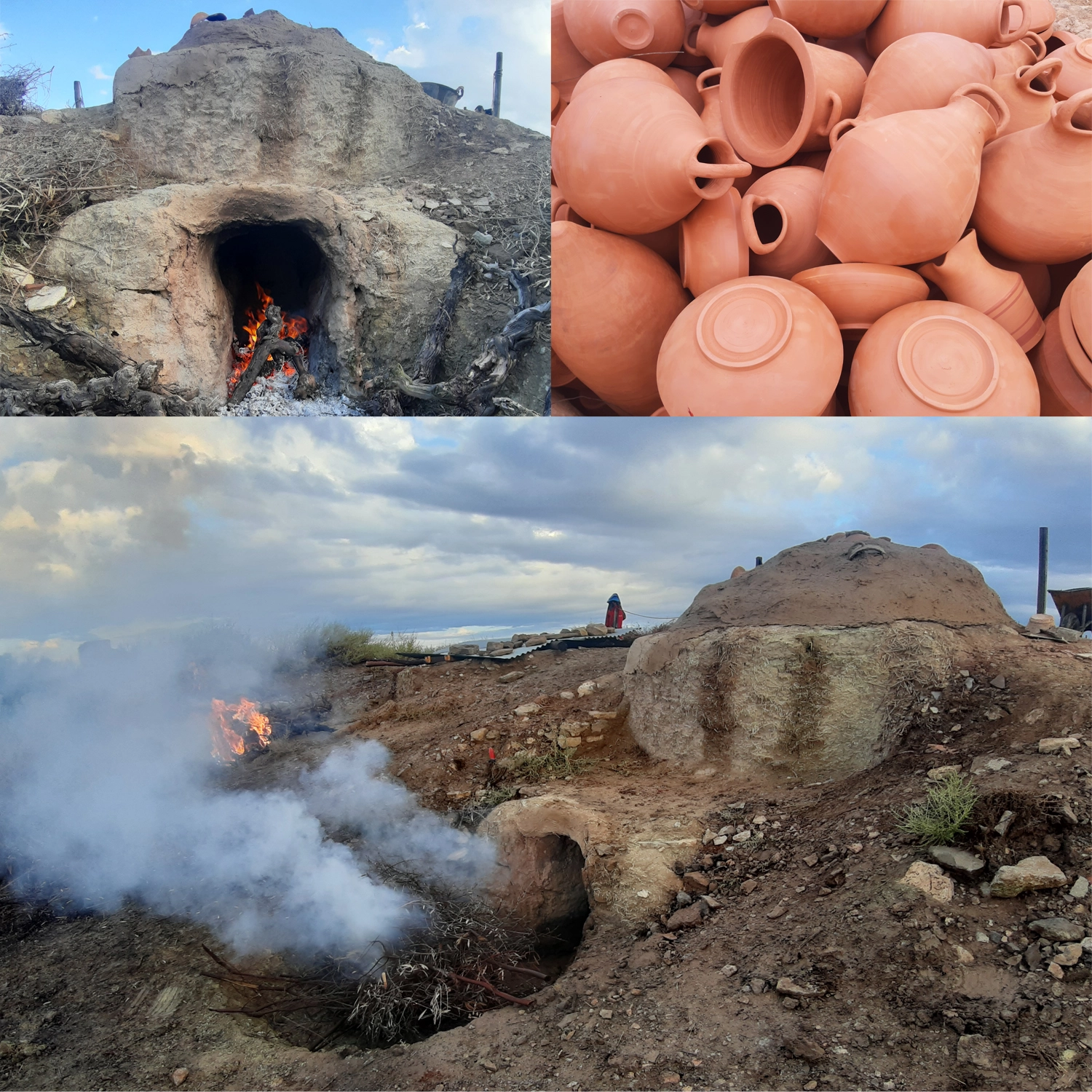
11. Craftsmanship Area