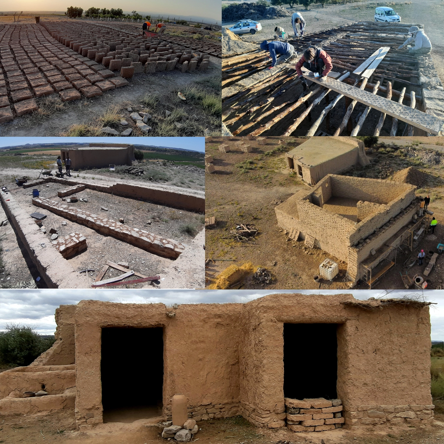
Audio Guide: Complex Housing District
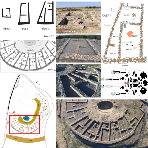
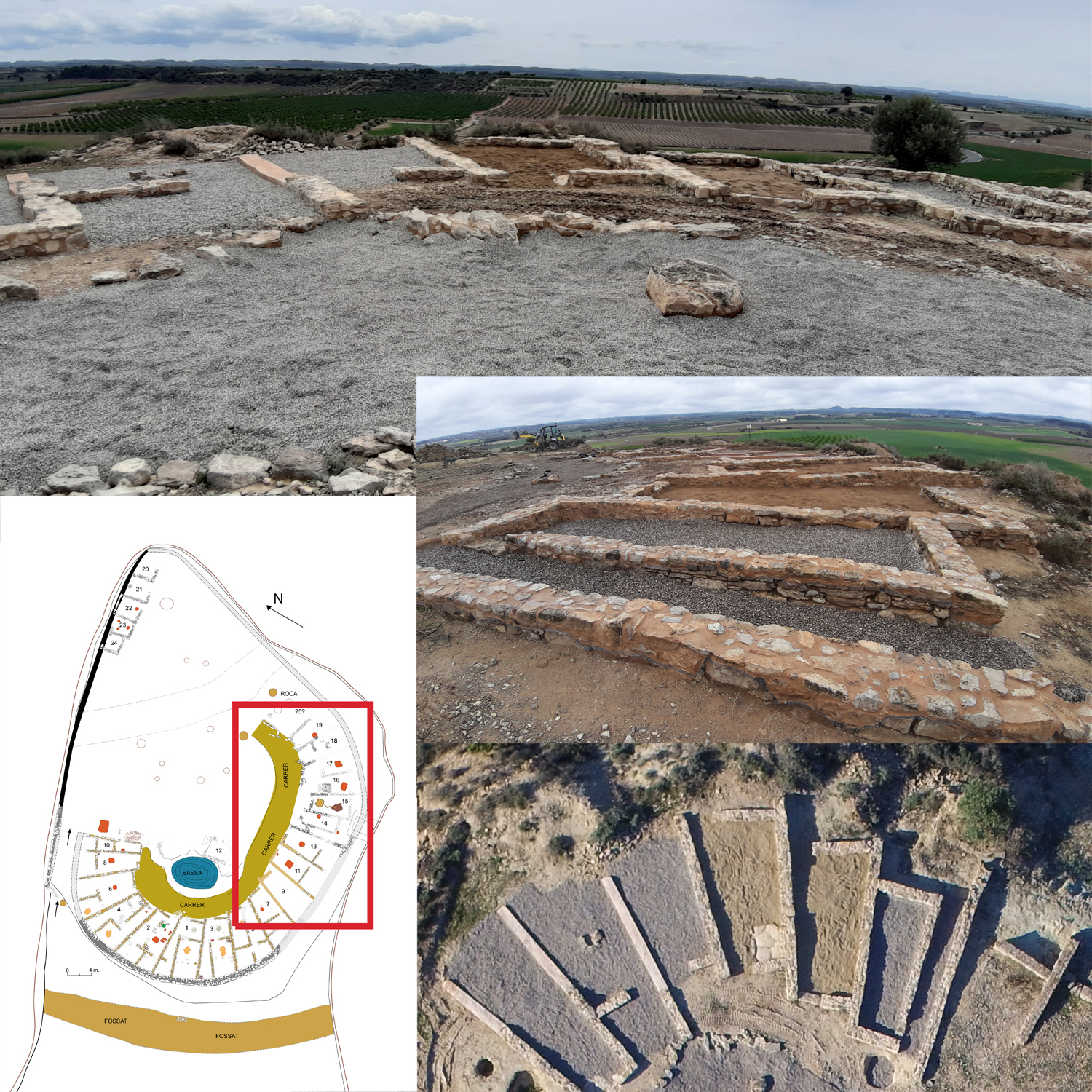
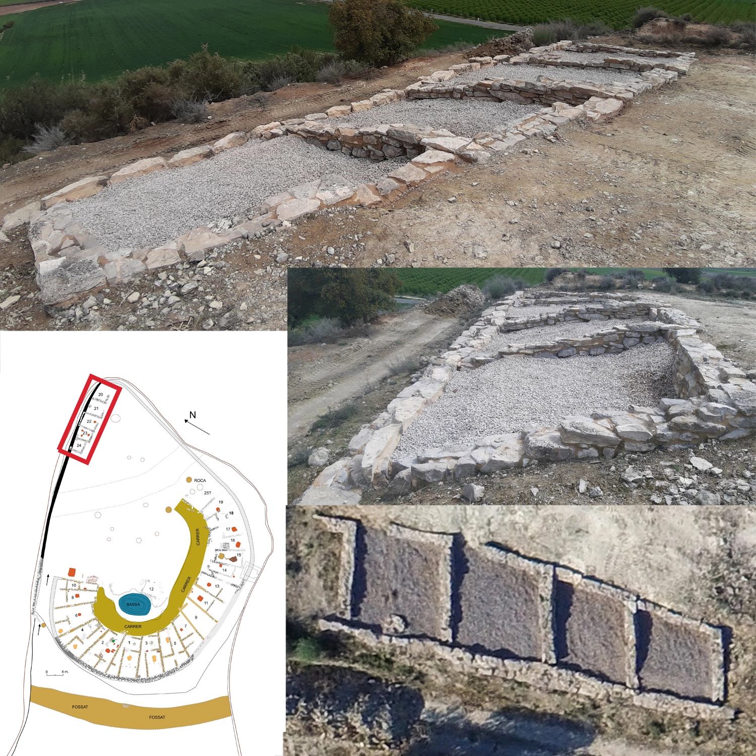
The excavated buildings at the site feature a variety of rectangular, square, and trapezoidal floor plans. Three distinct types of plans have been documented, with surface areas ranging from approximately 12 m² to as much as 60 m2.
It is within these specific structures that archaeologists have proposed the existence of a rampart walk or wall-walk.

Evidence suggests that these houses were not single-story structures; rather, they likely featured a second floor, which would have served as the primary living space for their inhabitants. This cluster of dwellings is located in the western sector of the settlement (Houses 1, 2, 3, 4, 5, and 6), built directly against the main defensive wall and situated in close proximity to the central basin.
The presence of second floors is attested by the discovery of fallen hearths found amidst the collapsed debris of many of these houses, as well as by the documentation of staircase remains (steps and adobes) leading to an upper level and remnants of floor surfaces.
Throughout the entire block of houses in the western quarter, the second floors are consistently reinforced at a distance of approximately two meters from the perimeter wall. This is evidenced by the presence of postholes and subdivision walls. This structural evidence supports the hypothesis of an upper rampart walk, as these reinforcements were clearly intended to bear the weight and ensure the stability of a circulation level adjacent to the fortification.
Evidence suggests that the main room of House 1 featured a second level, accessed from the ground floor via a rectangular adobe structure. This upper space contained a central hearth, as documented by a significant concentration of rubefacted (reddened) clay found amidst the collapsed wall debris, which indicates high-temperature burning and ceramic preparation activities.
The other complex houses within the district share similar architectural distributions, though each offers unique insights into the site’s history.
A particularly striking feature of House 2 is that all its doorways—both the main entrance and internal partitions—were found deliberately walled up. This practice, still observed in some rural architecture today, is interpreted as a protective measure taken by the inhabitants to prevent the dwelling from being occupied by others after their departure.
Furthermore, the scarcity of movable objects inside suggests an orderly and intentional abandonment, with the clear expectation of returning.
Beyond House 1, other dwellings provide evidence for the existence of second floors. House 3 features a structural element identified as a potential staircase base leading to the upper level. Additionally, during the excavation of House 6, archaeologists recovered remnants of a hearth that had collapsed from the second floor, confirming the presence of domestic living spaces on elevated levels.
All points of interest:
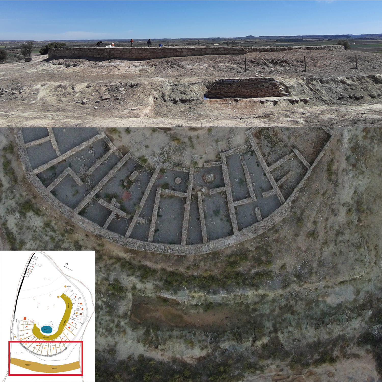
1. Ditch and Wall Area
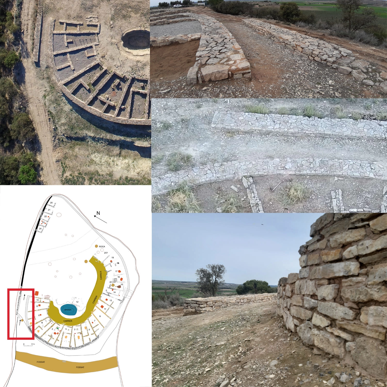
2. Settlement Entrance and Gate
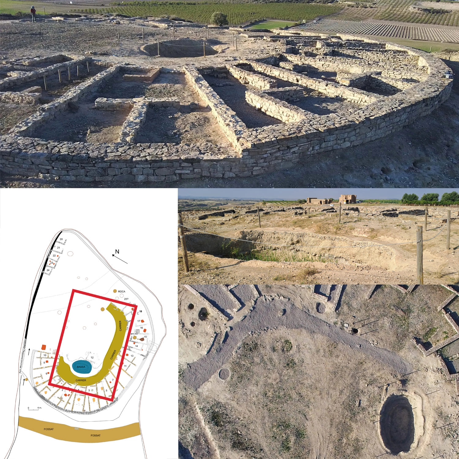
3. Circular Street and Basin
4. Complex Housing District
5. Simple Housing District
6. Pressing Workshop
7. Open Area: Silos and Pits
8. Tiny Housing District
9. The Protohistory Experimental Field
10. Agricultural Area
11. Craftsmanship Area